Mine? It’s about 9 acres but I have about 14 acres in the photo. I can absolutely pare that down and it’s my plan to do so, but I covered it all because I may be purchasing the additional land at some point.
I only have one core and do not believe that this is a Yardstick problem. I am simply not able to make my drone picture match the USGS, Google and Yarbo data. Any time I stretch or shrink it to make one area fit, some other area of the yard is misaligned.
The picture is taken using the 12 MB jpeg option in the DJI app. I’ll try with the 48 MB jpeg format to see if that makes any difference.
I used OpenDroneMap with the WebODM front end which is free and open source for you to install on your own computer. It will help greatly if you have an NVIDIA GPU, but if you’re only doing one pic, doing it with CPU is feasible. However, I needed about 64GB of RAM to complete it. It kept failing out even at 44GB of RAM allocated to the Docker.
However, you can use MapsMadeEasy if you don’t want to bother with all of that, but to make something of the size I made it will cost a pretty penny. ODM has Lightning, which is similar to MapsMadeEasy and it’s MUCH cheaper, but I haven’t tried it… I imagine it would work ok though.
You do want to shoot all your images in 50 megapixel, not 12megapixel.
I had the same problem with some others trying to use my DJI Mini 3 Pro, I just couldn’t get everything aligned just right.
Today I dug out my old DJI Phantom 4 Pro and linked it with Maps Made Easy. It took a lot of photos that I uploaded and got a nice very detailed aerial of my property. I could download it both as a jpg (42 mb) and a GeoTiff (459 mb).
The settings screen only lets me upload the jpg version, but then it says “Could not upload: That photo could not be read.”
Is there a file size limit?
UPDATE: It looks like it is a file limit size. I cropped it in Paint and was able to upload it, however doing that loses all the position data.
Once I got it lined up, everything lined up MUCH better than the single photo.
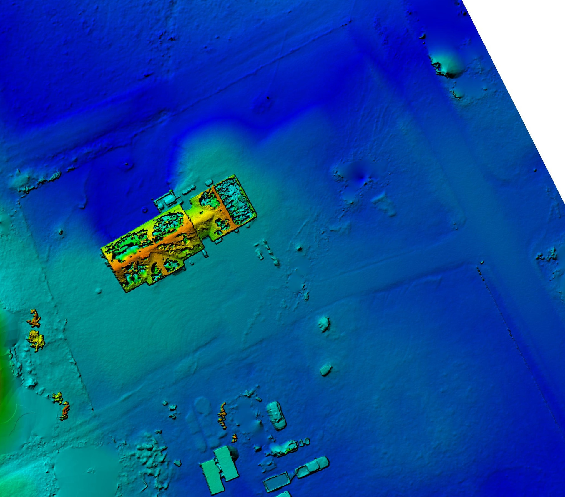
It would also be nice if you could switch between more than one of your own photo. Maps Made Easy allows me to export a Colorized DEM map, which looks similar to LiDAR. It would be nice to have both of these lined up and toggle between them.
This would be amazing if we could get an updated map. My Google map image is around ~9 years old. 8 years ago, I removed all the trees in my yard. Looking at this current map, it’s a bit difficult to see why I mapped an elbow in certain places.
I don’t have a drone. I did copy an image from Bing Maps which is current as of 3/26. But I am a little nervous about trusting the overlay. We’ll get there. At least it offers the No-Mowing period and will automatically return where it left off the next time the no-mow is cleared.
Are you using yardstick anywhere or the local version? If you are using the local version there is an option to make a google account and get possibly better maps.