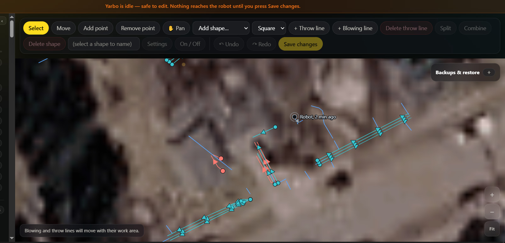
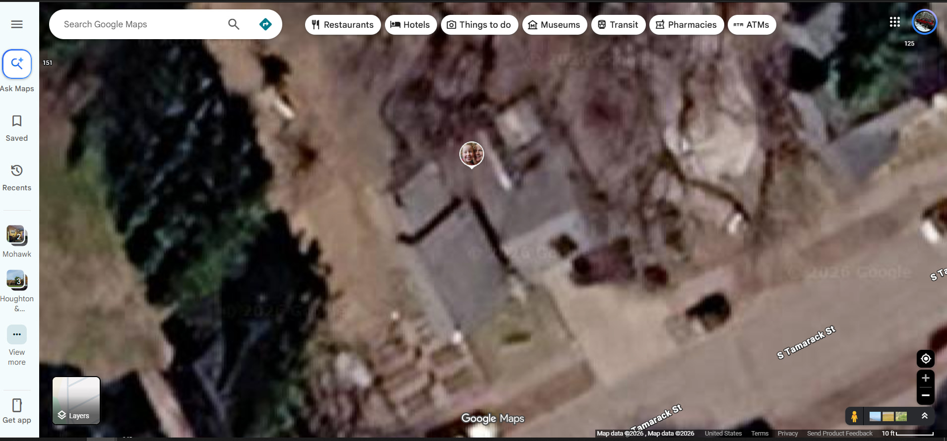
Has there been any consideration or plan to allow custom image uploads for the aerial background?
Currently, the stock USGS and Google Maps imagery can be outdated or low-resolution for specific areas. I’d like to upload high-resolution top-down drone shots to use as a custom background layer. Given the desktop map editor’s capabilities, having access to up-to-date, sharp imagery would significantly improve editing precision and overall usability.
Yes. This request came in yesterday as well from a few people. A good drone photo would be far sharper than anything we can pull from a satellite, so this is going on our enhancement list for the next release. The plan is that you upload your photo, click two or three spots on it that match spots on your map (a corner of the driveway, the dock, the edge of a zone), and Yardstick sizes, turns and places the photo for you. No resizing or cropping on your end, and a high-resolution file is fine.
Hang on to that photo. If you would like to send it to [email protected] in the meantime, we would be glad to use it to test against a real example while we build this.
@Glenn why not take a couple drone aerial photos and stitch them together?
Make sure the photos overlap and are on the same horizontal (or vertical) plane, are slightly larger than your property, and it should be straight forward to stitch two or more into a single image.
If you need assistance stitching them message me and I’ll be happy to help.
I like Maps Made Easy over DroneDeploy for doing this. Both let you setup flight plans, have the app control the drone and take photos at the preset elevations and overlap, then stich it together. DroneDeploy is more for someone doing this on a regular basis, Maps Made Easy you can buy credits and use as needed.
I’m a little confused on what photos are getting pulled in. Google Maps has a much more recent aerial for my property than what is displayed in Yardstick.
You can use up-to-date Google Maps image, but you need to create a Google API account. Go to Settings → Map imagery
Help links on that page explain the process.
I went back in to Google, it looks like I had the demo version selected, so I followed the steps and linked to a card. I was still having trouble even after restarting but then I noticed auto updates was not enabled. I turned that on, ran a manual update, then refreshed. A more recent aerial is now displayed (after house was built) but the resolution isn’t as good as what I see in google maps. I do plan to use a drone image once that feature is up.
Glad you got it figured out! Yeah google maps is hit or miss. Where I live it is 2 years out of date. I will probably try the drone option when it comes available, but for now it is good enough for background.
Just an fyi, if the image is not perfectly aligned, you can adjust that in yardstick.
Unfortunately, we’re at the mercy of Google and what they serve. So if their API service provides a worse version of the map than what you would get off of Google Maps via web or mobile app, we can’t override it. On our own testing, we saw that the resolution of images from a few years ago was much better than the current versions, but you have no way to select that in their API services.
We have not shelved the custom aerial imagery from drones or other sources. It’s still on the docket. Several competing feature enhancements are just taking priority right now. I promise we will get to this.
Also, I and I know a few others, bring their Yarbo to other locations and run on 4G. Will we be able to use the Google Maps imagery and selectively replace portions with drone imagery?
I was so excited to use the new YS version 1.24 this morning, got my DJI mini 4 Pro drone out and took pictures of my 5 acre yard this morning. Unfortunately I am not able to properly align it my with Yarbo data. I followed the step by step instruction from @Mike but there seems to be too much distortion in the picture. I had to go pretty high to capture the whole yard. I placed the dock first but as soon as I look at the property line and change the size of the background to match, everything gets misaligned and mis-sized inside the yard.
I think that it’s due to the camera lens, maybe instead of using just one picture, I need to use one of those programs that take multiple pictures at lower altitude and stitch them together?
@Frederic we believe you’re running more than one core, and the current release, 1.0.29, should resolve this: each Yarbo now has its own drone photo, so you can load and line up a separate photo for each core. Details in the changelog: What's new in Yardstick
I think that it’s due to the camera lens, maybe instead of using just one picture, I need to use one of those programs that take multiple pictures at lower altitude and stitch them together?
I had to stitch about 238 photos to capture my yard properly with my Mini 5 pro. Trying to do a yard with one photo is probably impossible given the resolution of the drone camera the height needed.
I took all the photos from 59m height with 80% overlap and got acceptable results that way. At these settings it’s about 1.04cm/pixel.
I’m considering trying to lower that to about 40m and more overlap but I’m already running into Yardstick size limits with what I’ve got so it may not be worth the effort.